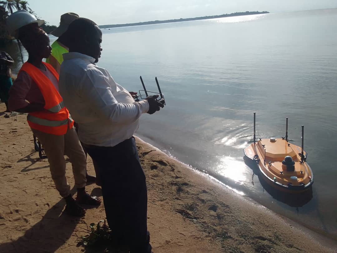
Hydrographic Surveying
Mapping underwater topography for marine and coastal projects.
Exploring the Depths
Stroposphere specializes in hydrographic surveys to map seabeds, riverbeds, and other underwater features. Our services are crucial for port and harbor management, offshore energy projects, dredging operations, and environmental monitoring.
Core Hydrographic Services
We provide critical data for safe and efficient marine operations.
Bathymetric Surveys
Using multi-beam and single-beam echosounders, we create detailed depth charts and 3D models of the seafloor and riverbeds.
Seabed Classification
We analyze acoustic backscatter data to classify seabed materials (sand, rock, mud), essential for habitat mapping and cable/pipeline routing.
Offshore Positioning
Our team provides high-accuracy positioning for the installation and maintenance of offshore structures, including wind turbines and oil rigs.
Navigate Your Marine Project with Confidence
Contact us for precise underwater data to support your project's success.