Photogrammetry & LiDAR
Creating high-resolution 3D models from images and laser scans.
Digital Reality Capture
We leverage state-of-the-art photogrammetry and LiDAR technology to transform physical sites into precise, detailed digital models. From aerial drone mapping to terrestrial laser scanning, our services provide invaluable data for as-built verification, topographic mapping, and creating immersive 3D visualizations.
Core Digital Capture Services
We turn the real world into actionable digital data.
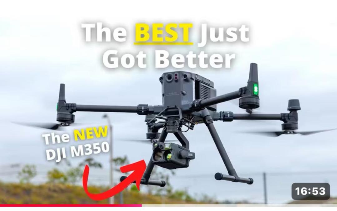
Aerial Photogrammetry
Using advanced drones, we capture high-resolution aerial imagery to generate orthomosaic maps, digital elevation models (DEMs), and 3D mesh models.
Terrestrial LiDAR Scanning
We utilize high-speed 3D laser scanners to create dense, accurate point clouds of structures and environments for as-built documentation and analysis.
3D Modeling & BIM
Our team processes point cloud and photogrammetry data into intelligent 3D models compatible with Building Information Modeling (BIM) workflows.
Ready to Digitize Your Project?
Let us capture your world in stunning detail. Contact us for a consultation.